// screenshots
fan project · live
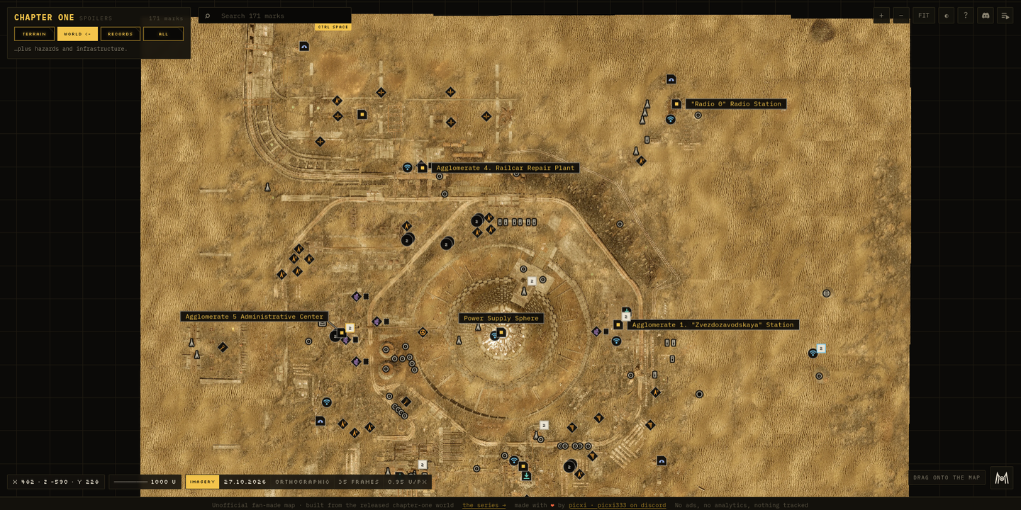
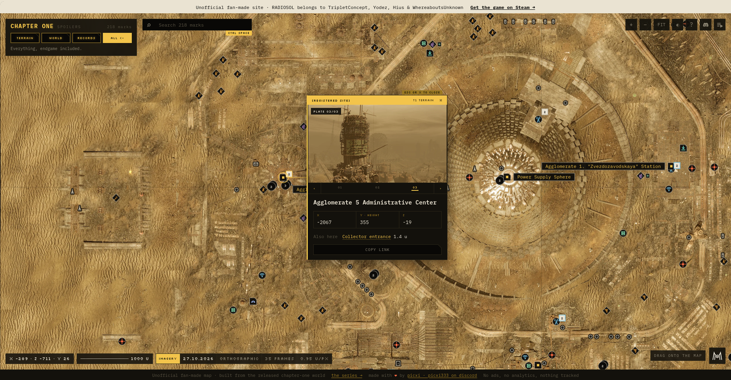
An unofficial fan map of RADIOSOL chapter one. The world photographed from above in-game and stitched into one tiled basemap, with the places, machines, hazards and walked underground routes marked. Spoilers off by default.
RADIOSOL ships without a map. radiosol.world is the one I built for it. Not traced from a wiki, but surveyed: thirty-five orthographic frames flown and captured inside the game, feature-matched with SIFT, stitched in Hugin and cut into tiles at a measured 0.95 units/px. The result is one continuous image of an 11,692-unit world that nobody, including the developers, had ever seen whole.
On top of the basemap sit 218 marked places: nine districts, eighty-two features, fifty-two hazards, twenty-nine machines, ten servers, nine Calypso probes and the rest. Below them run twenty-one underground routes recorded on foot across thirty-eight segments and about 22,000 units of walking. Eighteen of those places carry photographs taken on site.
The hard problem was not the geometry, it was disclosure. A complete map of an exploration game is a way to ruin it, so every mark carries a spoiler tier and a cold reader sees 105 of the 218 until they deliberately ask for more. The whole thing is a single static page with no framework, no build-time dependency on the browser side, no cookies and no analytics. Fonts are inlined as data URIs, the page makes zero outbound requests, and nothing is recorded about anyone who visits.
one static page · zero runtime dependencies · no analytics, ever
Unofficial and fan-made. RADIOSOL belongs to TripletConcept, Yodez, Hius & WhereaboutsUnknown; published with the team's permission and never monetised. Nothing of theirs is altered or claimed.